
Raglan's Raglan and Kawhia's Cool
/Surf's up when we arrive in Raglan. We haven't yet seen the ocean but it's easy to tell because there's zillions of surfboard-clad vehicles all vying for a park on the main street, where salty individuals lounge outside cafés. Nearby at Manu Bay, famous for its left-hand break, the surf pounds in. Every summer surfers from around the globe compete here in the international surfing competition so we're not surprised to see locals making the most of the good swell.
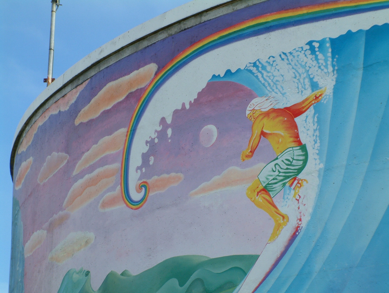
At the Raglan Surf School, Matthew, a transient snowboard instructor, tells us he always returns here. “Raglan’s Raglan, you know. It’s known for the sun, the waves - it’s a world-class surf break,” he says.

This windswept stretch of coastline, with its small village hugging the harbour beneath the benign gaze of Mt Karioi, has long been a popular haunt. The history of the town can be traced back nearly 1,000 years to the Tainui, while the first European land sale took place in 1850. Back then, early settlers relied on boats as their main form of transport and Raglan remained an important port until shipping was diverted to Tauranga in the 1960s.
The town has several fine buildings, such as the Harbour View Hotel, built in 1866 and repaired in 1903 after fire damage; the 1874 immigrant cottage at 1 Bow Street; and the old school in Stewart Street. Traditional-style Kiwi baches form the majority of dwellings and a link to Raglan’s more recent past, while large, architecturally designed houses prove that the beach is fast becoming a popular lifestyle choice for many.
Raglan is an interesting mix of the old, the new and the funky. There's a surfeit of good eateries and hip places to hang out at and the town also boasts more than its fair share of artists’ studios and design stores.
Activity-wise there's lots to do: you can take your pick from surf lessons, harbour cruises, fishing, horse trekking, kayaking, paragliding, skydiving, tandem cycling, kite surfing, swimming and hiking. Popular walks include hiking Mt Karioi, Te Toto Gorge, Karamu Walking Track and the beautiful Bridal Veil Falls.
We take a scenic drive to Kawhia around Mt Karioi, past Papanui Point and Ruapuke, joining up with Te Mata Road prior to Bridal Veil Falls. The four-kilometre trip to the falls is a worthy side trip and it’s a short, ten-minute hike to see its cascading waters.
After a quick stretch of the legs we plough on following muddy, unsealed roads, giving brief glimpses of the azure expanse of Aotea Harbour. It looks so tempting, we make another diversion to check out the sandy harbourside settlement of Aotea. It’s ruggedly serene: waves crash on the bar but the sheltered waters behind are still, there’s no sign of life in the village, bar squawking gulls, and the store – a brightly painted caravan parked near the shore – is closed.
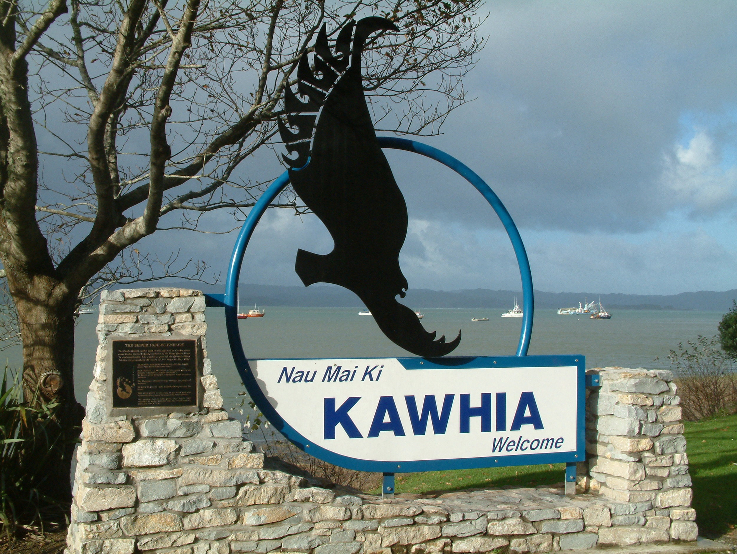
Nearby in Kawhia, a once thriving port in the 1850s, another sleepy scene awaits. The main street, boasting the Kawhia General Store and a couple of eateries, leads to the wharf. Nearby is Kawhia Seafoods, where legendary fish and chips are served, and the Kawhia Museum, housed in the former Kawhia County Council building. As well as offering information on local Maori and European history, it has an interesting collection of treasures, including, moa bones, kete and adzes, and a large display on the Kawhia whaleboats, bought here in 1910 by rowing enthusiasts.
Kawhia has a rich Maori history. Along the shoreline is the ancient pohutukawa tree, Tangi te Korowhiti, where Hoturoa, captain of the Tainui waka, moored upon arrival in New Zealand during the 14th century, and Ahurei, a small hill south of Maketu Marae, where the vessel later came to rest. Beside the carved meeting house at Maketu, we see the Kawhia home of the Maori Queen, and nearby the site where Hoturoa established a school where 12- to 17-year-olds learnt to use traditional weapons.
The first European settlers arrived in the mid-1820s. The newcomers set up flour and flax mills in the region and exported many goods, including potatoes, wheat, apples, onions and pigs, until the land wars in 1863, which heralded an exodus of settlers from the King Country till 1881.
Kawhia was also once a busy port, but its popularity declined as New Zealand’s road and rail network grew. Today, it’s a peaceful backwater that can be reached via minor roads from Waitomo or Raglan, or from Otorohanga via State Highway 31. Its waters are popular with fishermen, as well as wind- and kite-surfers, who congregate at the harbour mouth. A short drive leads to Kawhia’s wild ocean beach and Te Puia Springs, where, if you dig a hole in the sand at low tide like we did, you’ll be assured of a hot bath.
